Drone innovations in environmental protection
Drone innovations in environmental protection enhance wildlife monitoring, disaster response, and ecological mapping by providing real-time data and efficiency, allowing for effective conservation strategies and community engagement.
Drone innovations in environmental protection are paving the way for advanced methods of conservation. Imagine using aerial views to monitor ecosystems and wildlife with ease—curious how this technology is shaping our environment?
Understanding drone technology in conservation
Drone technology plays a vital role in modern conservation efforts. By utilizing drones, environmentalists can monitor wildlife and ecosystems more effectively. Drones provide a bird’s-eye view, which helps scientists gather data without disturbing the habitat.
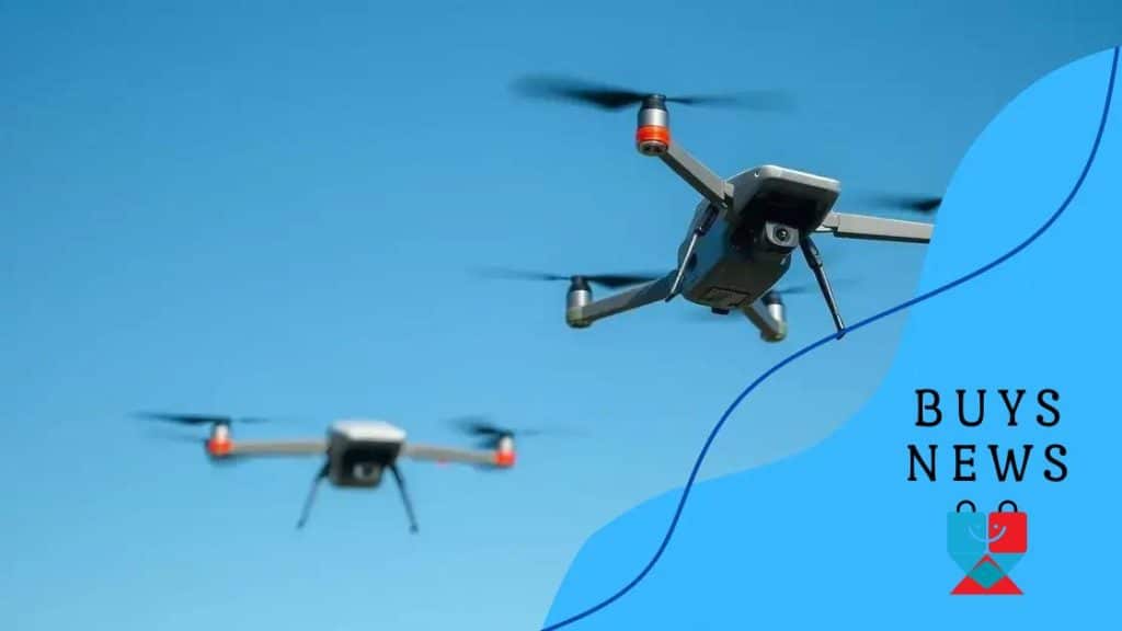
How Drones Work in Conservation
Drones are equipped with various sensors and cameras. These devices capture high-resolution images and videos that help researchers assess the health of ecosystems. The real-time data collected allows for quick response, ensuring that any changes can be addressed promptly.
- Gathering wildlife data without human interference
- Mapping inaccessible areas for conservation purposes
- Monitoring changes in land use and vegetation
- Tracking migrations and behaviors of endangered species
Furthermore, using drones reduces the costs associated with traditional monitoring methods. Ground surveys can be labor-intensive and time-consuming. With drones, teams can cover large areas in a fraction of the time.
The Benefits of Aerial Monitoring
Aerial monitoring through drone technology enhances conservation strategies. By providing comprehensive insights, conservationists can make informed decisions. This technology helps in habitat restoration and protection, benefiting not only wildlife but also local communities.
Moreover, the integration of drones with AI algorithms brings a new level of precision. Analyzing trends over time provides valuable predictions for future conservation challenges. Identifying areas that need intervention becomes easier, allowing resources to be allocated effectively.
How drones aid in wildlife monitoring
Drones have become essential tools in wildlife monitoring. Using drones allows researchers to observe animals in their natural habitats without intrusion. This method helps in protecting the wellbeing of various species while gathering valuable data.
Benefits of Drone Monitoring
One of the key benefits of using drones is their ability to cover large areas quickly. They can fly at different altitudes, capturing high-resolution images and video footage. This data enables a clearer understanding of animal behaviors and population dynamics.
- Minimizes human disturbance in wildlife habitats
- Improves accuracy in counting animal populations
- Facilitates tracking of animal movements over time
- Helps in identifying poaching incidents or illegal activities
Furthermore, with advanced AI technology, drones can analyze patterns in wildlife behavior. For example, they can detect changes in migration routes or feeding patterns. This real-time data plays a critical role in shaping conservation efforts.
Technological Advancements
The evolution of drone technology has significantly impacted wildlife monitoring. Equipped with thermal imaging and GPS, drones can provide insights during night and day. This capability enhances overall surveillance, ensuring that animals are monitored around the clock.
As drone usage increases in conservation, new applications are continually being developed. For instance, drones now can carry sensors that measure environmental conditions. This additional data helps researchers understand how habitat changes affect wildlife.
Innovative drone uses for environmental mapping

Innovative drone uses are revolutionizing environmental mapping. By employing advanced technology, drones provide detailed maps that are critical for understanding landscapes. This capability is essential for effective conservation and resource management.
How Drones Enhance Mapping
Drones equipped with high-resolution cameras and sensors can gather data from various altitudes. This information is invaluable in creating accurate topographical maps. These maps help in assessing land use changes, vegetation growth, and erosion patterns.
- Capture detailed images of large areas quickly
- Provide data for precise terrain analysis
- Enable environmental monitoring with minimal disturbance
- Facilitate updates to outdated maps efficiently
Furthermore, drone mapping supports various sectors. For instance, agriculture benefits from detailed imagery that helps farmers optimize crop management. Moreover, urban planners use drone maps to visualize potential developments.
Environmental Impact Assessment
One significant application of drones is in environmental impact assessments. By monitoring changes over time, drones help identify ecological risks. This proactive approach allows conservationists to address issues before they escalate.
Additionally, drones assist in tracking wildlife habitats. Understanding how various factors affect these regions is essential for preservation efforts. With detailed mapping, conservationists can make informed decisions to protect wildlife and their environments.
The role of drones in disaster response
Drones play a crucial role in disaster response efforts. They provide quick access to areas that are hard to reach due to damage or hazardous conditions. With their ability to gather information rapidly, drones assist emergency teams in making informed decisions during crises.
Real-Time Data Collection
One of the key advantages of using drones is real-time data collection. Equipped with cameras and sensors, drones can assess damage and look for survivors in a matter of minutes. This capability allows responders to prioritize their efforts effectively.
- Assessing structural damage in real-time
- Identifying hazards like fires or flooding
- Locating missing persons in challenging landscapes
- Providing situational awareness to coordination teams
Moreover, drones can relay information to command centers, enabling better logistical planning. With comprehensive aerial views, response teams can determine where to send resources, thereby improving overall effectiveness.
Communication and Coordination
Another significant aspect of drones in disaster response is enhancing communication. Drones can be used to create temporary communication networks in areas where traditional systems are down. This connectivity ensures that responders can communicate and coordinate effectively, even in chaotic environments.
Furthermore, drones can assist in delivering essential supplies, such as food, water, or medical kits, to isolated populations. In emergencies where ground transport is impossible, drones prove to be a lifesaving alternative.
Future trends in drone applications for ecology
The future of drones in ecology looks promising, with innovative applications emerging every day. These advancements are helping researchers and conservationists address environmental challenges more effectively. As technology evolves, so do the capabilities of drones in ecological studies.
Emerging Technologies
One of the most significant trends is the integration of artificial intelligence (AI) with drone technology. This combination allows for smarter data analysis and real-time decision-making. Drones equipped with AI can identify species, track movements, and assess habitats autonomously.
- Automated wildlife identification through image recognition
- Enhanced data collection from remote or inaccessible areas
- Real-time habitat monitoring for immediate response
- Improved predictive analytics for conservation strategies
Moreover, advancements in battery life and payload capacity enable drones to cover larger distances and carry more equipment. This ensures that they can handle various ecological tasks, such as extensive forest surveys or comprehensive water quality assessments.
Collaboration and Community Engagement
Future trends also point towards increased collaboration between scientists, local communities, and technology developers. By engaging with communities, researchers can gain valuable insights into local ecosystems. Drones can be used in citizen science projects, encouraging the involvement of the public in ecological monitoring.
Additionally, educational programs are being designed to teach students about drone technology and its applications for the environment. This knowledge can inspire the next generation of conservationists, making them aware of how drones can contribute to sustainable practices.
FAQ – Frequently Asked Questions about Drone Innovations in Environmental Protection
How do drones assist in wildlife monitoring?
Drones allow researchers to observe animals without disturbing their habitats, providing valuable data on behavior and population dynamics.
What are some future trends in drone technology for ecology?
Future trends include AI integration for smarter data analysis and increased collaboration with local communities in ecological monitoring.
Can drones help during natural disasters?
Yes, drones provide quick access to disaster zones, collect real-time data, and assist in delivering essential supplies when ground access is limited.
How can drones be used for environmental mapping?
Drones offer high-resolution images and data that help create detailed maps for assessing land use changes and monitoring habitats.


